An archive of research on historic trails and roads
Lewis and Clark Trail Inventory
South Dakota Sites
To see the map in fullscreen view, in the map's upper-right corner, click the ![]() button.
button.
The data for this map was collected by the National Park Service, Lewis and Clark National Historic Trail, mainly in the year 2009. If you have updates, please contact us: editor@trailresearch.org.
South Dakota Signs, Statues, and Markers
Spirit Mound
Clay County, South Dakota: 42.8675464, -96.95600644
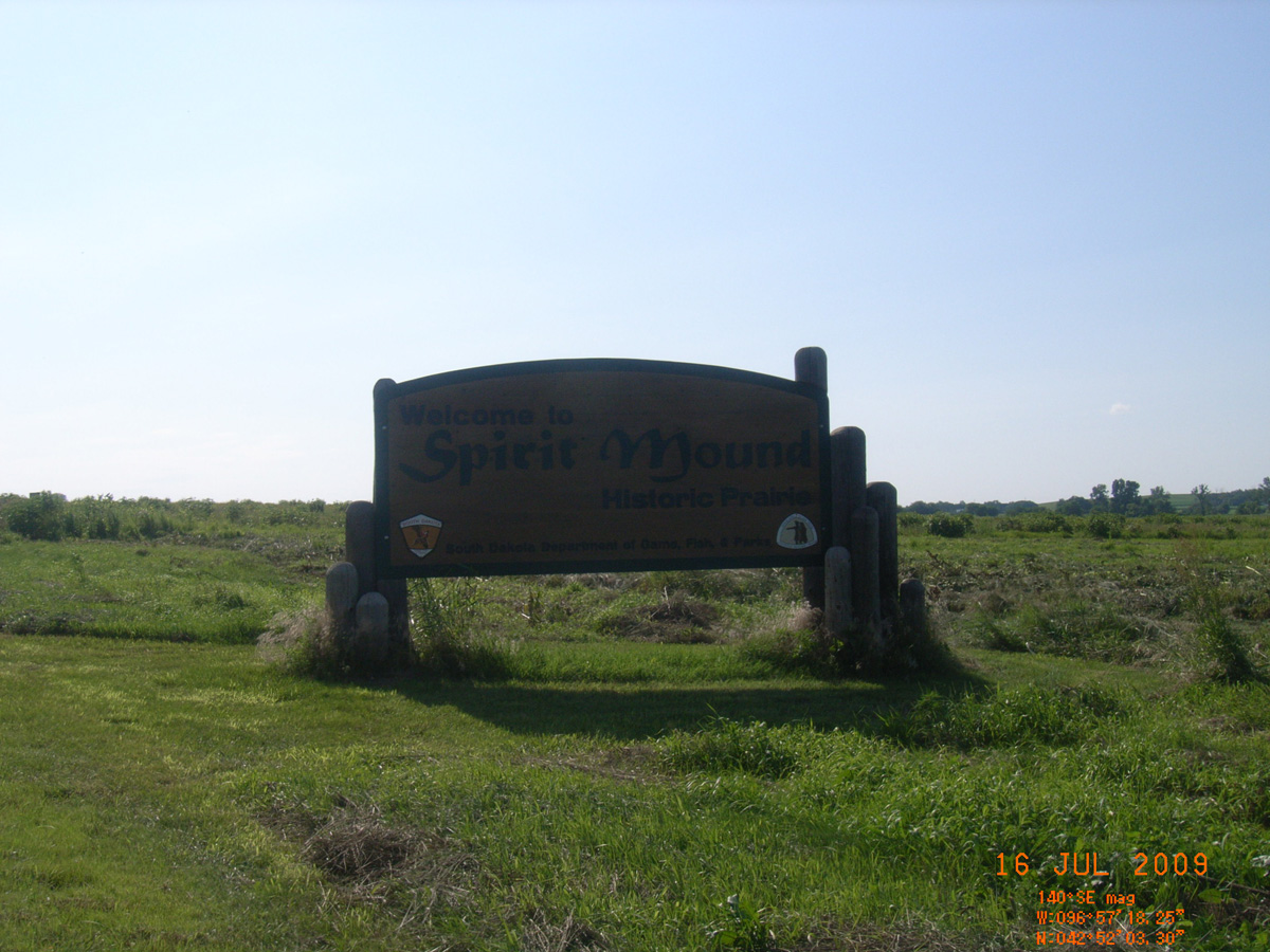
Welcome to Spirit Mound
- Date Assessed: 2009-07-16
- File Name: RIMG0028.JPG
- Folder: C15JulyCam1
- Camera Direction: 227°
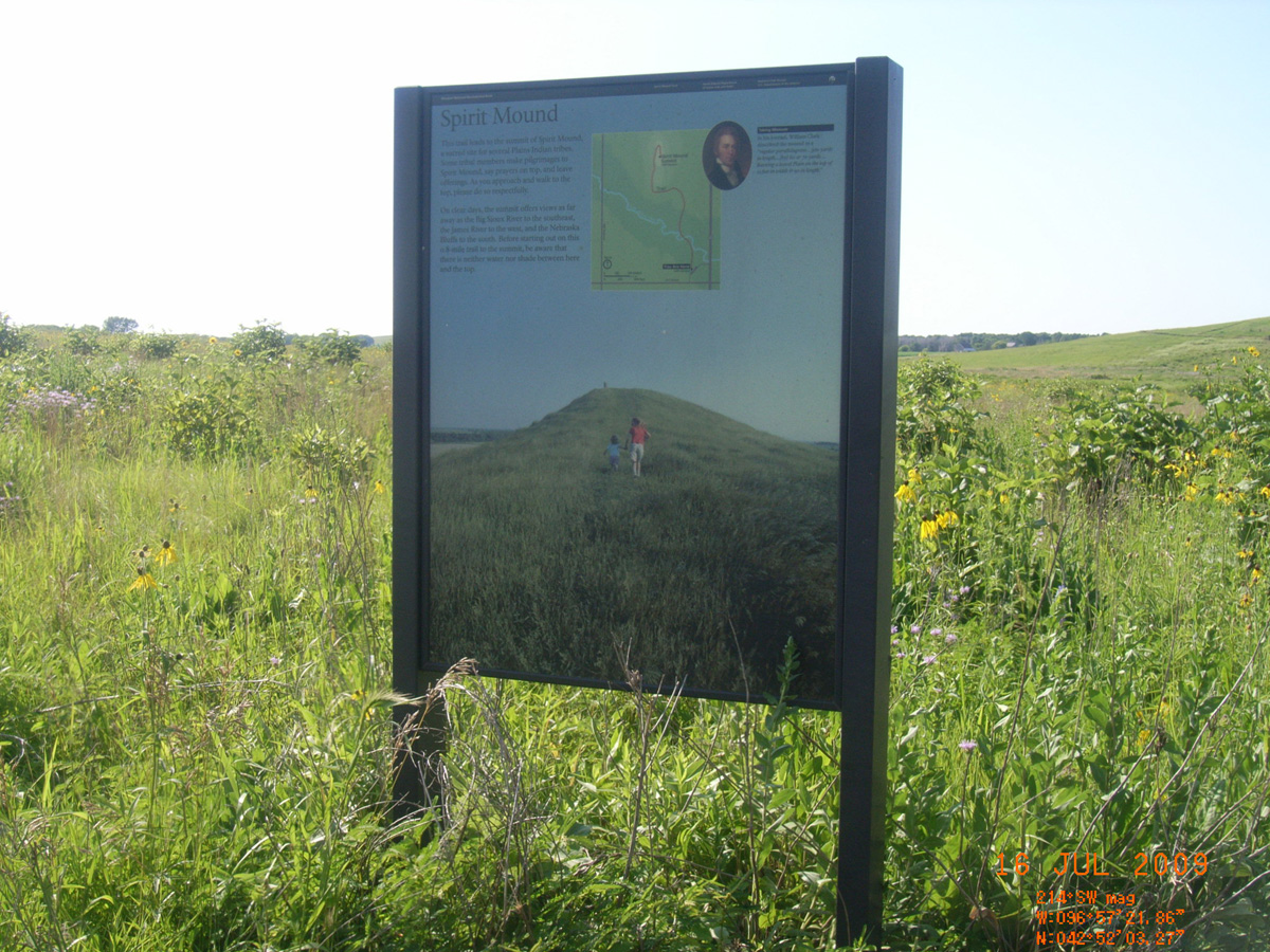
Spirit Mound
- Date Assessed: 2009-07-16
- File Name: RIMG0029.JPG
- Folder: C15JulyCam1
- Camera Direction: 195°
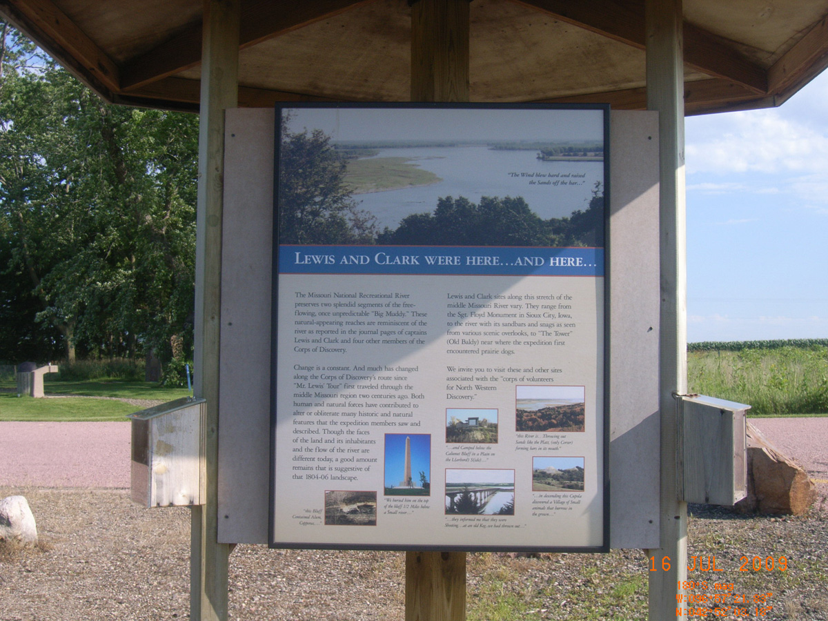
Lewis and Clark Were Here...and Here...
- Date Assessed: 2009-07-16
- File Name: RIMG0030.JPG
- Folder: C15JulyCam1
- Camera Direction: 195°
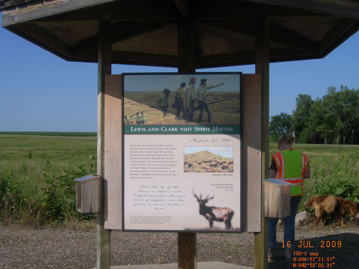
Lewis and Clark Visit Spirit Mound
- Date Assessed: 2009-07-16
- File Name: RIMG0031.JPG
- Folder: C15JulyCam1
- Camera Direction: 223°
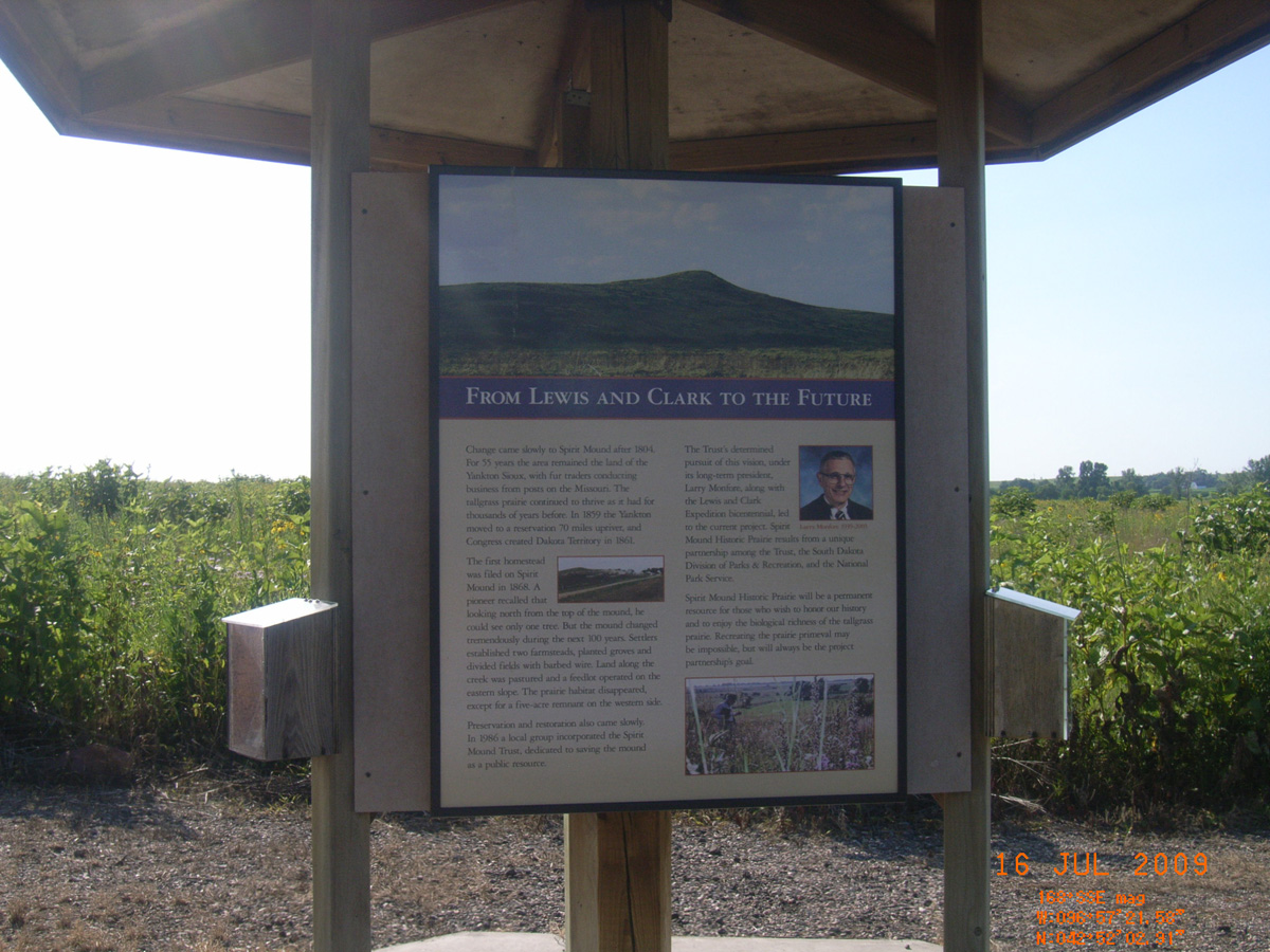
From Lewis and Clark to the Future
- Date Assessed: 2009-07-16
- File Name: RIMG0032.JPG
- Folder: C15JulyCam1
- Camera Direction: 240°
Junction HW 52 and 50 near Tabor
Bon Homme County, South Dakota: 42.90998369, -97.65028469
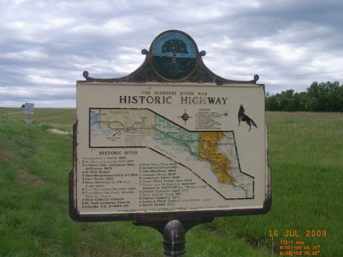
The Missouri River was Historic Highway
- Date Assessed: 2009-07-16
- File Name: RIMG0028.JPG
- Folder: C16JulyCam1
- Camera Direction: 229°
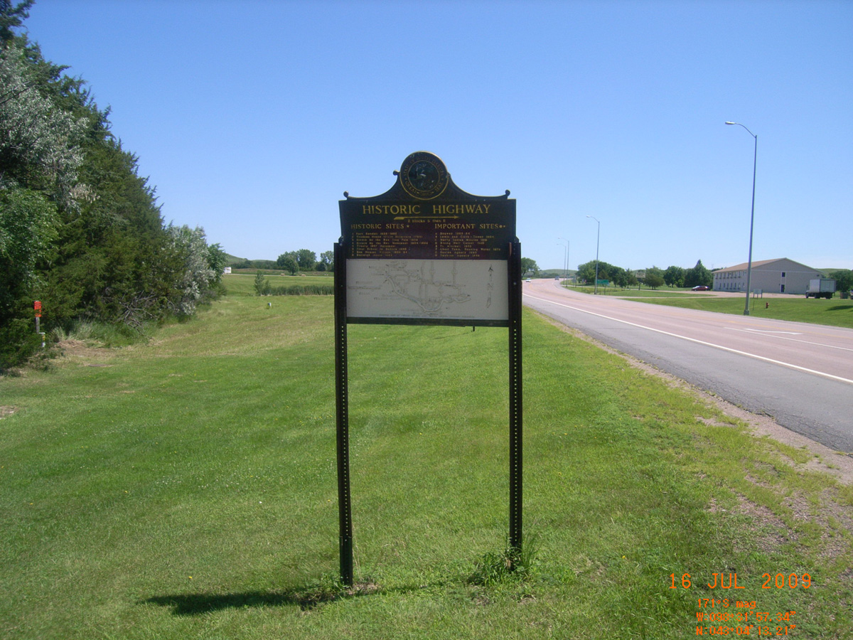
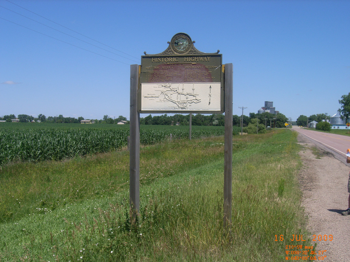
Pickstown, HW 18
Charles Mix County, South Dakota: 43.07033193, -98.53254371
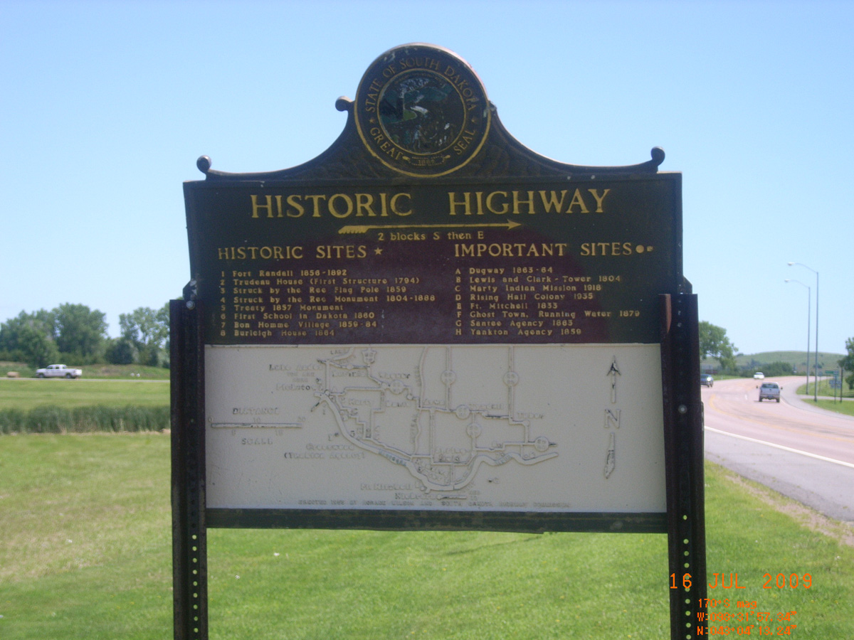
Historic Highway -->
- Date Assessed: 2009-07-16
- File Name: RIMG0053.JPG
- Folder: C16JulyCam1
- Camera Direction: 227°
Historic Highway -->
- Date Assessed: 2009-07-16
- File Name: RIMG0054.JPG
- Folder: C16JulyCam1
- Camera Direction: 223°
Lake Andes, 382nd Ave
Charles Mix County, South Dakota: 43.15137378, -98.54618753
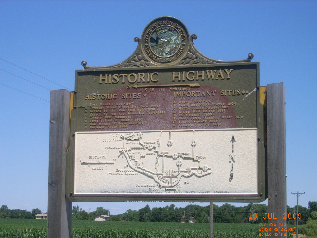
<-- Historic Highway U.S. 18 via Pickstown
- Date Assessed: 2009-07-16
- File Name: RIMG0055.JPG
- Folder: C16JulyCam1
- Camera Direction: 234°
<-- Historic Highway U.S. 18 via Pickstown
- Date Assessed: 2009-07-16
- File Name: RIMG0056.JPG
- Folder: C16JulyCam1
- Camera Direction: 246°
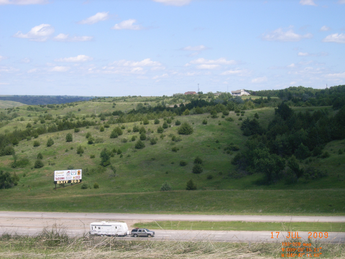
Chamberlain, I-90 Rest Area
Brule County, South Dakota: 43.78711212, -99.33839533
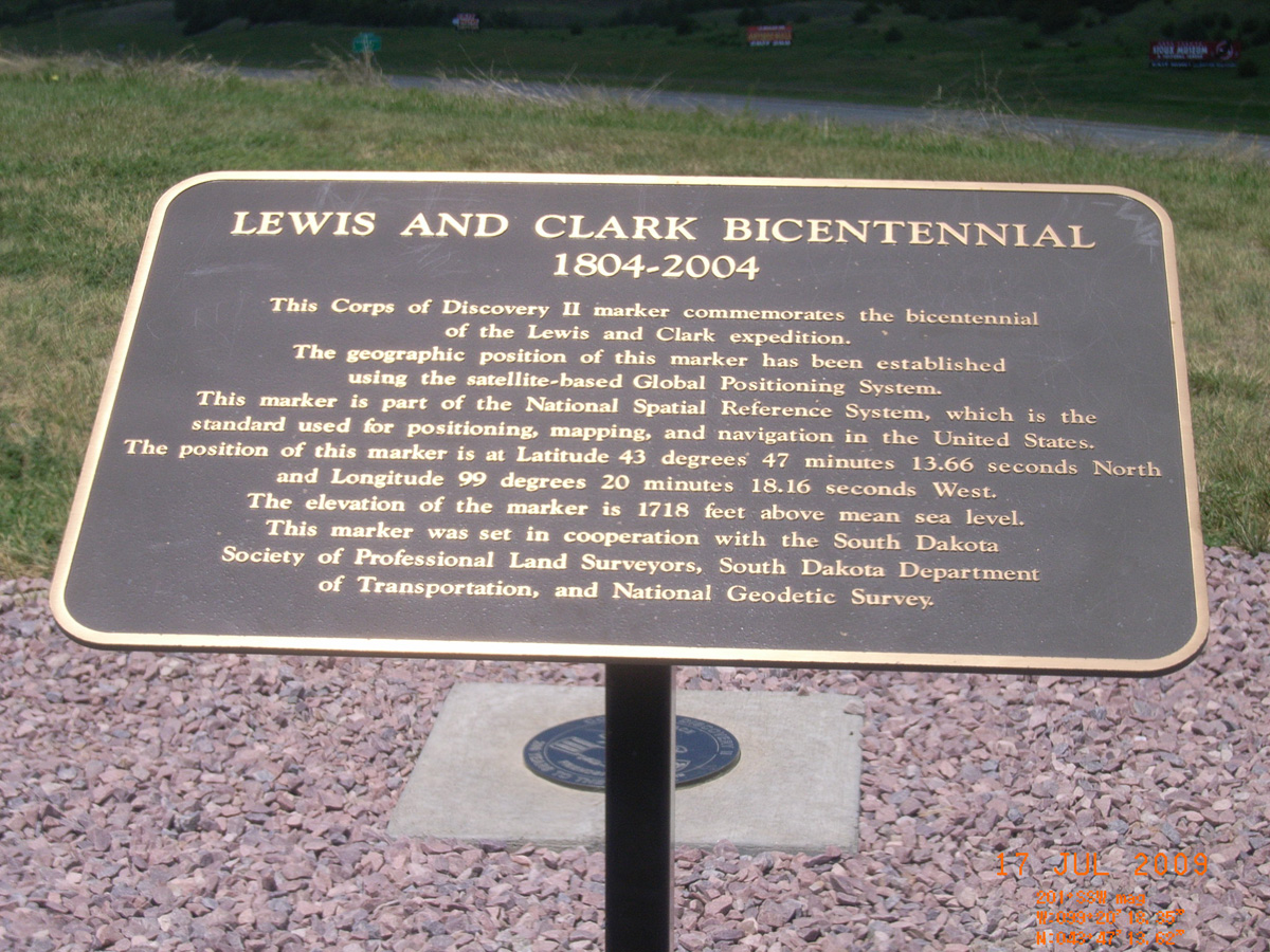
Lewis and Clark Bicentennial 1804-2004
- Date Assessed: 2009-07-17
- File Name: RIMG0069.JPG
- Folder: C16JulyCam1
- Camera Direction: 210°
- Date Assessed: 2009-07-17
- File Name: RIMG0070.JPG
- Folder: C16JulyCam1
- Camera Direction: 206°
- Date Assessed: 2009-07-17
- File Name: RIMG0071.JPG
- Folder: C16JulyCam1
- Camera Direction: 159°
- Date Assessed: 2009-07-17
- File Name: RIMG0072.JPG
- Folder: C16JulyCam1
- Camera Direction: 160°
- Date Assessed: 2009-07-17
- File Name: RIMG0073.JPG
- Folder: C16JulyCam1
- Camera Direction: 158°
- Date Assessed: 2009-07-17
- File Name: RIMG0074.JPG
- Folder: C16JulyCam1
- Camera Direction: 145°
- Date Assessed: 2009-07-17
- File Name: RIMG0075.JPG
- Folder: C16JulyCam1
- Camera Direction: 209°
Farm Island, near Pierre
Hughes County, South Dakota: 44.34566873, -100.2799721
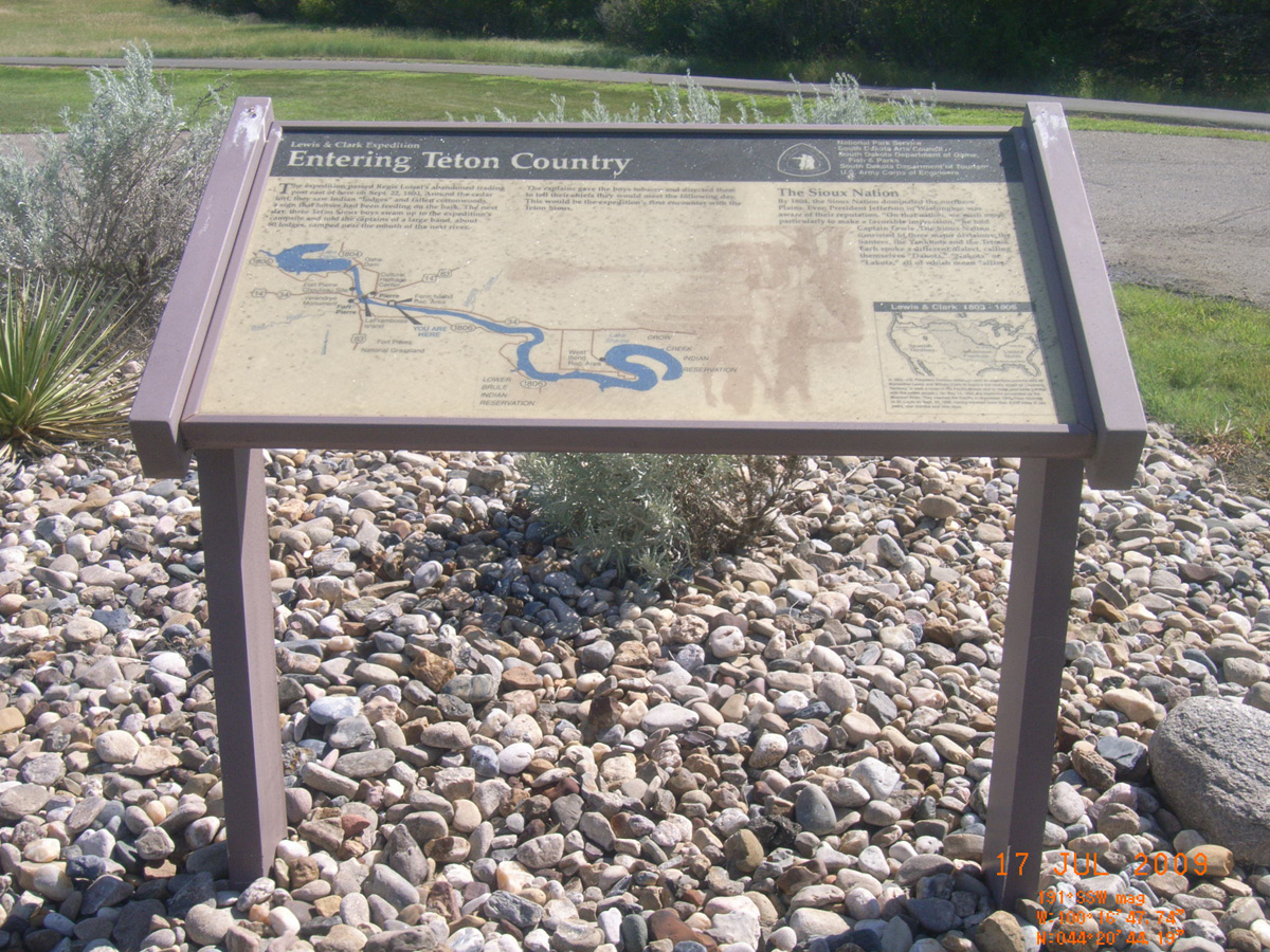
Entering Teton County
- Date Assessed: 2009-07-17
- File Name: RIMG0112.JPG
- Folder: C16JulyCam1
- Camera Direction: 2°
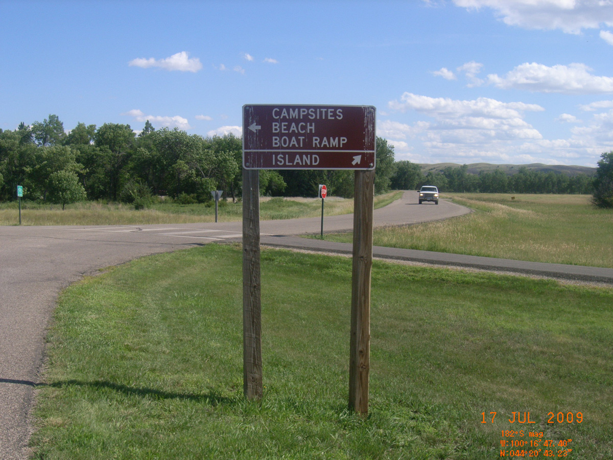
Island -->
- Date Assessed: 2009-07-17
- File Name: RIMG0113.JPG
- Folder: C16JulyCam1
- Camera Direction: 160°
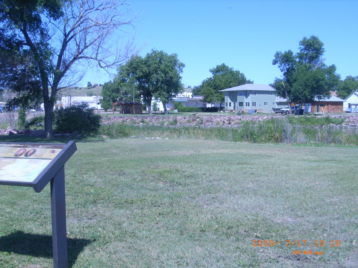
Fischers Lilly Park, Fort Pierre
Stanley County, South Dakota: 44.35289374, -100.368428
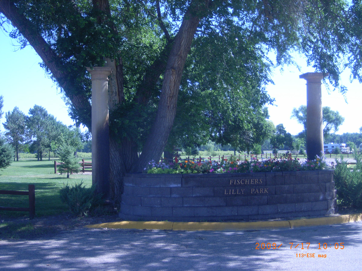
Fischers Lilly Park
- Date Assessed: 2009-07-17
- File Name: RIMG0014.JPG
- Folder: C17JulyCam2
- Camera Direction: 159°
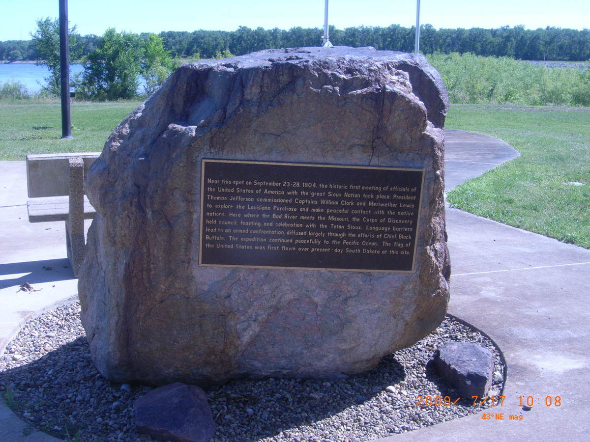
Near this spot on September 23-28, 1804...
- Date Assessed: 2009-07-17
- File Name: RIMG0015.JPG
- Folder: C17JulyCam2
- Camera Direction: 164°
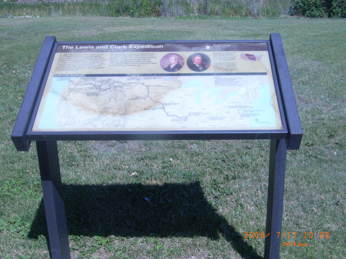
The Lewis and Clark Expedition
- Date Assessed: 2009-07-17
- File Name: RIMG0016.JPG
- Folder: C17JulyCam2
- Camera Direction: 187°
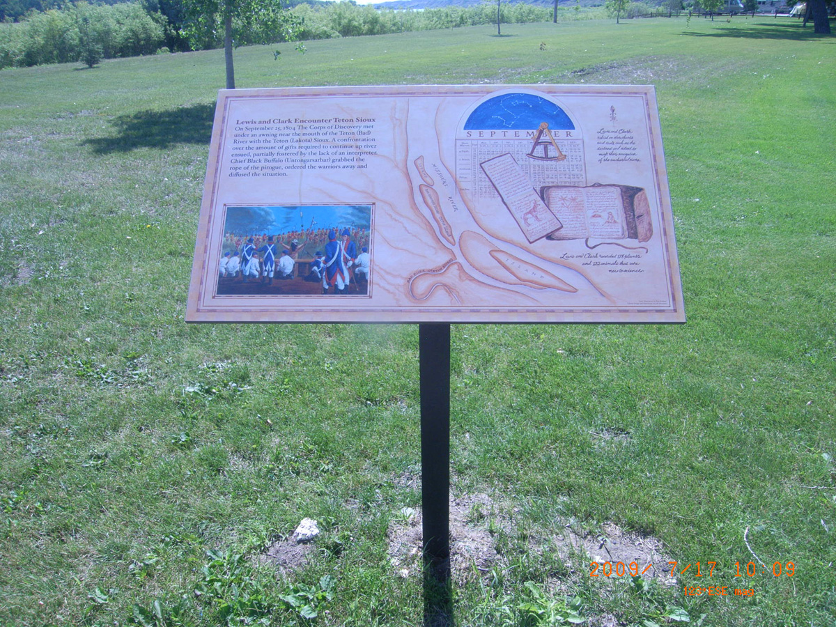
Lewis and Clark Encounter Teton Sioux
- Date Assessed: 2009-07-17
- File Name: RIMG0017.JPG
- Folder: C17JulyCam2
- Camera Direction: 210°
- Date Assessed: 2009-07-17
- File Name: RIMG0018.JPG
- Folder: C17JulyCam2
- Camera Direction: 210°
- Date Assessed: 2009-07-17
- File Name: RIMG0019.JPG
- Folder: C17JulyCam2
- Camera Direction: 175°
- Date Assessed: 2009-07-17
- File Name: RIMG0020.JPG
- Folder: C17JulyCam2
- Camera Direction: 171°
- Date Assessed: 2009-07-17
- File Name: RIMG0021.JPG
- Folder: C17JulyCam2
- Camera Direction: 82°
- Date Assessed: 2009-07-17
- File Name: RIMG0022.JPG
- Folder: C17JulyCam2
- Camera Direction: 237°
- Date Assessed: 2009-07-17
- File Name: RIMG0023.JPG
- Folder: C17JulyCam2
- Camera Direction: 232°
Lewis and Clark Encounter Teton Sioux
- Date Assessed: 2009-07-17
- File Name: RIMG0024.JPG
- Folder: C17JulyCam2
- Camera Direction: 181°
Webster City Park, Mobridge
Walworth County, South Dakota: 45.53850358, -100.4338905
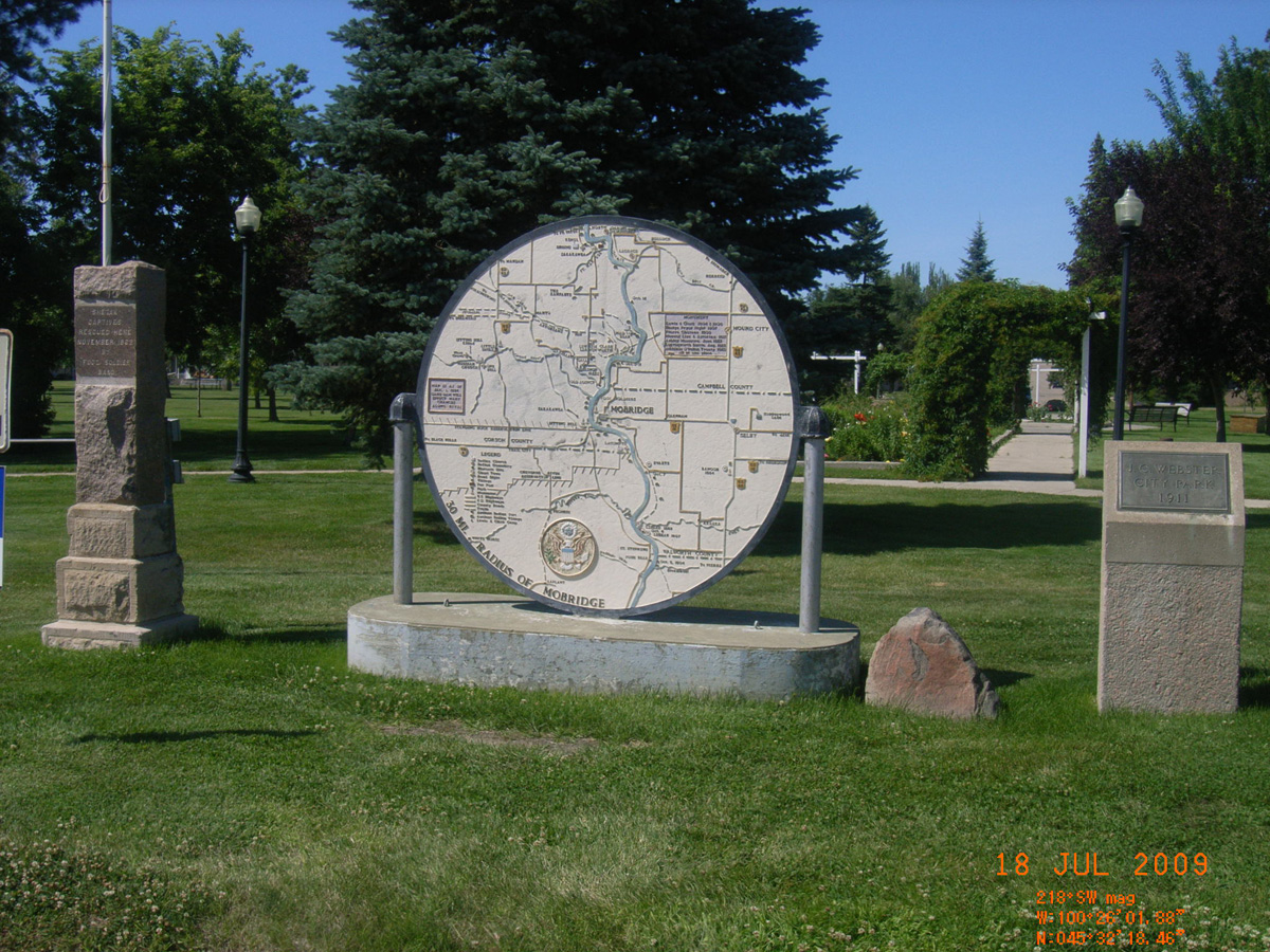
30 Mi. Radius of Mobridge
- Date Assessed: 2009-07-18
- File Name: RIMG0129.JPG
- Folder: C17JulyCam1
- Camera Direction: 230°
Oahe Dam, Pollock
Campbell County, South Dakota: 45.91267699, -100.2961747
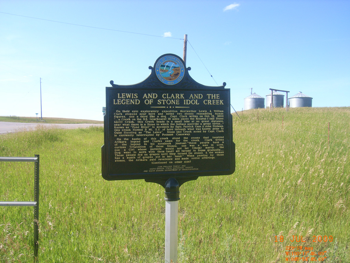
Lewis and Clark and the Legend of Stone Idol Creek
- Date Assessed: 2009-07-18
- File Name: RIMG0184.JPG
- Folder: C17JulyCam1
- Camera Direction: 184°
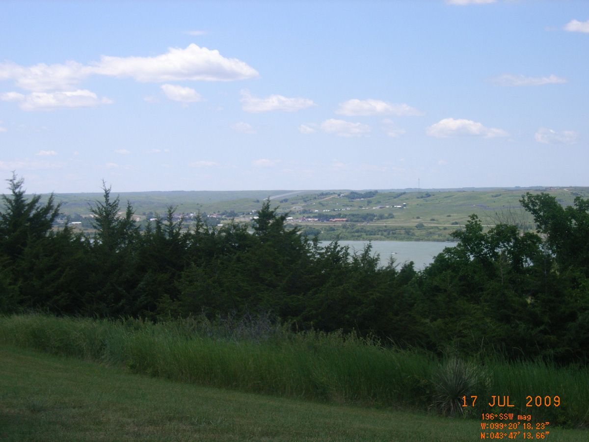
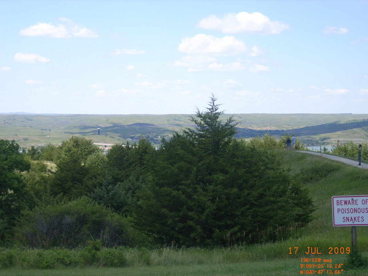
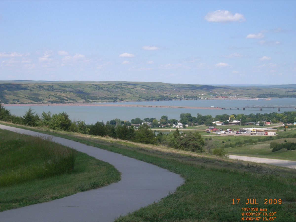
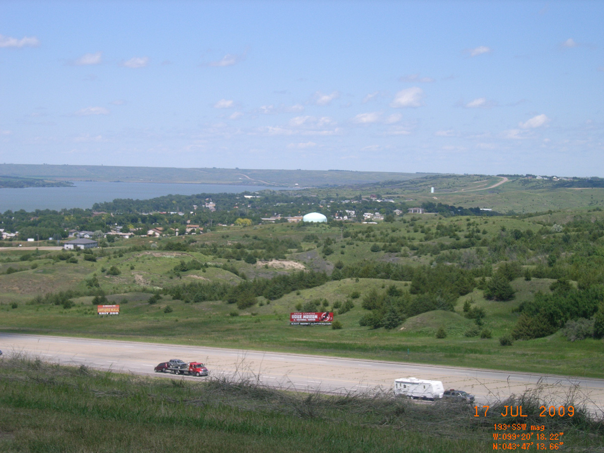
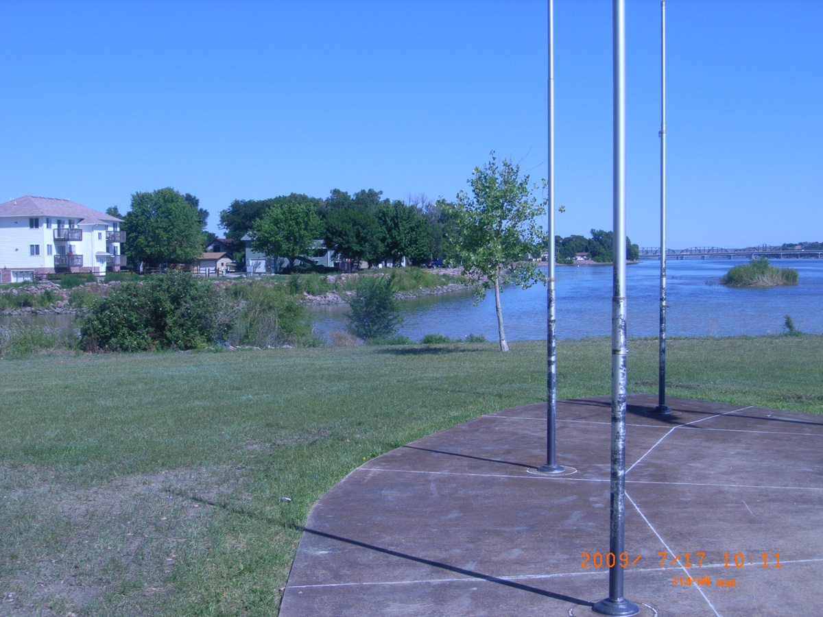
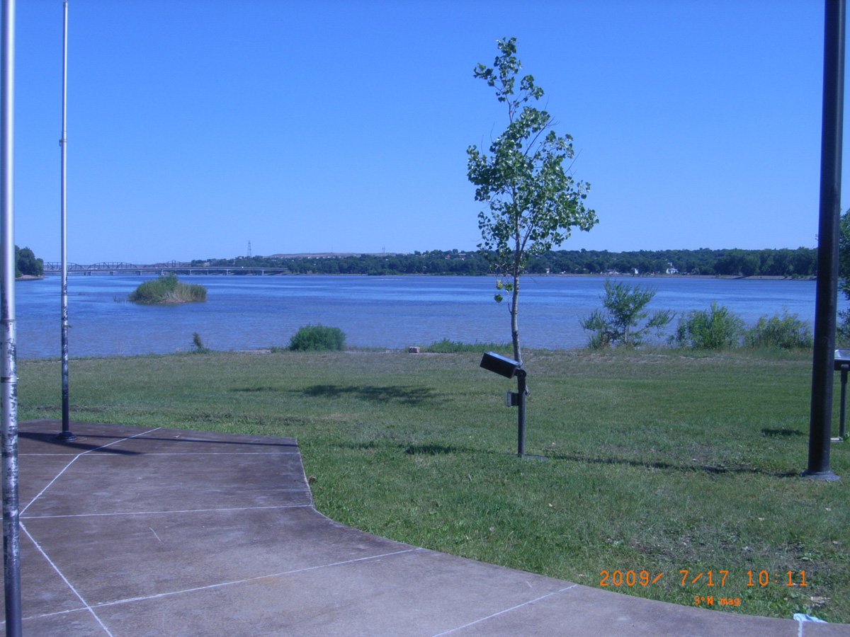
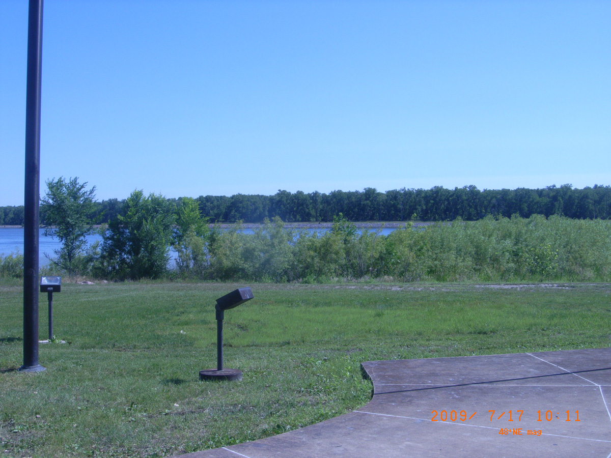
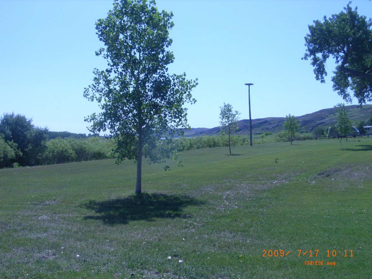
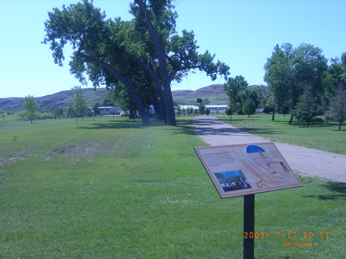
Lewis and Clark Recreation Area near Yankton
Yankton County, South Dakota: 42.86767384, -97.52149624
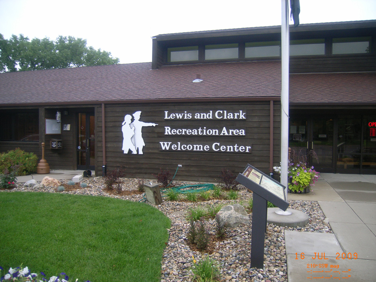
Lewis and Clark Recreation Area Welcome Center
- Date Assessed: 2009-07-16
- File Name: RIMG0001.JPG
- Folder: C16JulyCam1
- Camera Direction: 233°
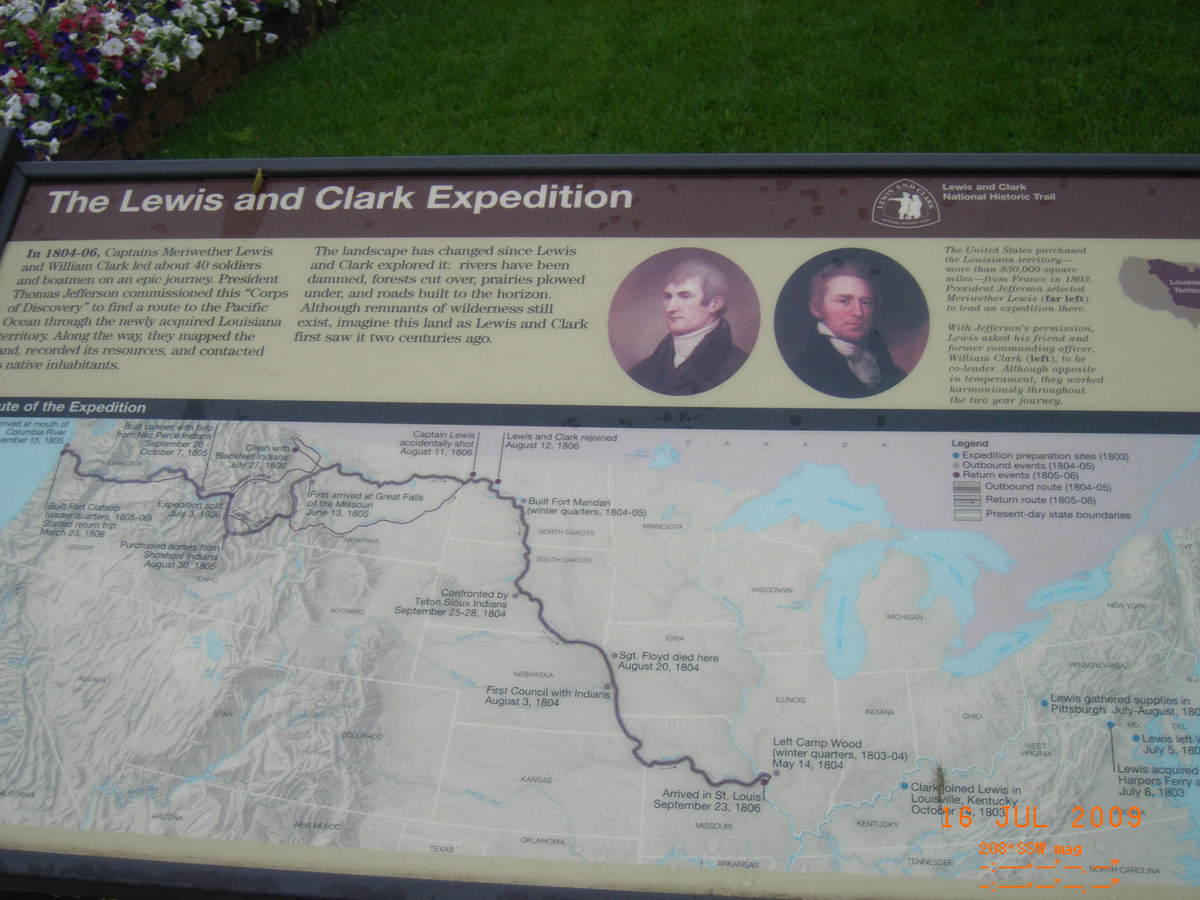
The Lewis and Clark Expedition
- Date Assessed: 2009-07-16
- File Name: RIMG0002.JPG
- Folder: C16JulyCam1
- Camera Direction: 231°
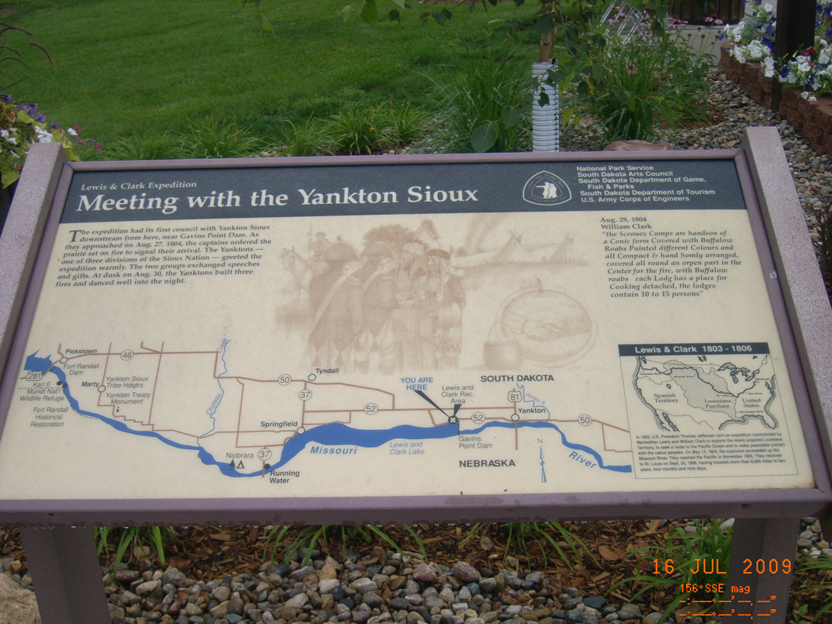
Meeting with the Yankton Sioux
- Date Assessed: 2009-07-16
- File Name: RIMG0003.JPG
- Folder: C16JulyCam1
- Camera Direction: 216°